
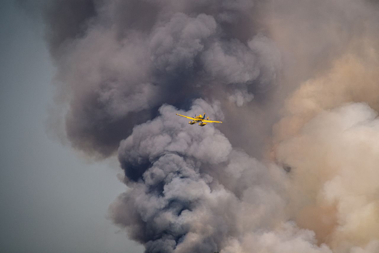
NASA scientists studying fire-driven clouds captured rare imagery of a pileus cloud forming atop a pyrocumulus plume during the Sand Creek fire in Montana.
Key facts
- •The observation occurred on August 11, 2026, during a flight over the Sand Creek fire in Montana.
- •The pileus cloud formed when a fire-driven updraft forced a moist layer of air upward, causing water vapor to condense.
- •NASA's MASTER instrument captured the cloud at 5:40 p.m. local time using 50 different spectral bands.
- •The fire was actively spreading up the western side of Mount Comet at the time of the observation.
- •The INSPYRE campaign seeks to map the relationship between surface fire behavior and convective plume development.
During an August 11, 2026, flight over Montana's Sand Creek fire, researchers with NASA’s INSPYRE campaign observed a rare pileus cloud hovering above a pyrocumulus cloud. The observation was made using the MASTER instrument aboard a NASA ER-2 high-altitude research aircraft. This event provided scientists with a detailed look at the interaction between intense fire-driven convection and atmospheric moisture.
By the numbers
Formation of the Fire-Driven Cloud
Pileus clouds, named from the Latin word for "cap," typically form when rising air columns collide with a moist layer of air aloft. In this instance, the intense heat from the Sand Creek fire created a fast-rising updraft that displaced a horizontal layer of moister air upward. As this air was forced higher, it cooled and condensed into the veil-like cloud structure. Neil Lareau, the project's deputy investigator, noted that the pyrocumulus cloud acted similarly to a mountain, forcing the air upward to create the cap.
Data Collection and Analysis
The MASTER (MODIS/ASTER Airborne Simulator) instrument captured the imagery at 5:40 p.m. local time. The data included both natural-color images and shortwave-infrared observations, which allowed researchers to map the fire's surface behavior alongside the convective plume. Because pileus clouds are ephemeral and often persist for only a few minutes, the team was fortunate to capture the formation during their 30-minute observation intervals. The imagery provides insight into the extreme updraft dynamics occurring as the fire spread up the western side of Mount Comet.
Broader Context of Convective Clouds
While fire-driven convection is a known phenomenon, pileus clouds can also be triggered by severe thunderstorms or volcanic eruptions. Previous research, such as the 2002 CRYSTAL-FACE campaign in Honduras, documented similar cloud structures above thunderstorms. The INSPYRE mission aims to better understand these processes by connecting surface fire dynamics to the development of convective plumes and cloud structures in the atmosphere.
Timeline
- 2002Researchers documented thin cirrus clouds above thunderstorms during the CRYSTAL-FACE campaign in Honduras.
- 2009A pileus cloud was observed cloaking the top of a volcanic plume following an eruption at the Sarychev volcano.
- August 11, 2026NASA researchers captured imagery of a pileus cloud over the Sand Creek fire in Montana.
Advertisement
This article was independently rewritten by ManyPress editorial AI from reporting originally published by NASA Breaking News.