Indonesia is experiencing a surge in dangerous, hard-to-extinguish peatland fires, exacerbated by El Niño and drought conditions similar to the 2015 crisis.
Key facts
- •Indonesia contains about 36 percent of the world's tropical peatlands.
- •Peat fires produce three times more fine particulate matter than other tropical forest fires.
- •By September 2, 2026, fires had already released roughly 10 percent of the total emissions produced during the 2015 crisis.
- •The SiPongi fire-monitoring platform counted 946 hotspots on August 31, 2026.
- •Heavy smoke has led to school closures, the shuttering of nine national parks, and flight delays.
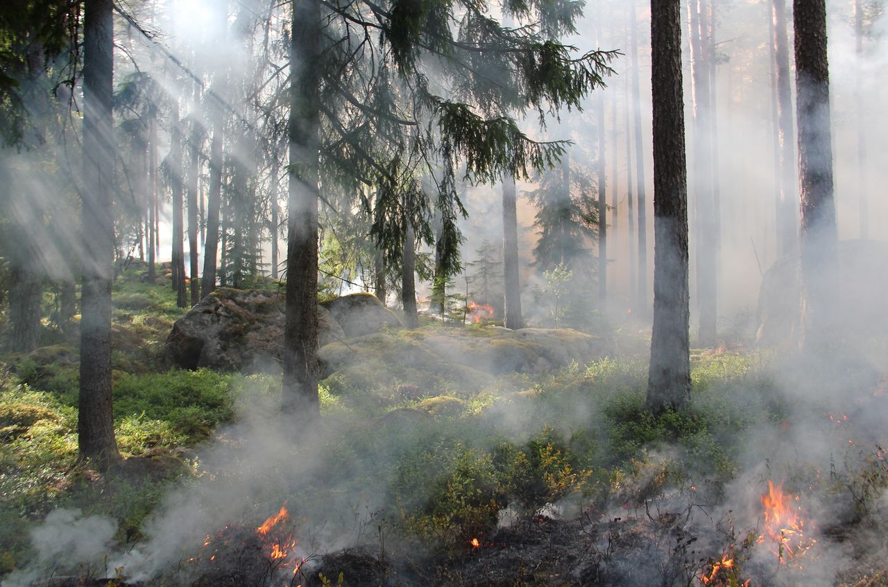
Indonesia's 2026 fire season has seen a sharp increase in activity, with fires burning through underground peat deposits. These smoldering fires are difficult to extinguish and produce significantly higher levels of pollutants than typical forest fires. NASA satellite imagery and local monitoring systems have tracked rising thermal anomalies as the country faces severe drought conditions.
By the numbers
The Challenge of Peatland Fires
Peat fires are uniquely dangerous because they burn underground at low temperatures, making them resistant to traditional firefighting efforts. They continue to smolder until heavy rains arrive, typically in October or November. These fires are exceptionally polluting, emitting significantly more fine particulate matter, sulfur dioxide, and greenhouse gases than standard forest fires.
Impact of Climate Patterns
The current fire season is being intensified by a strong El Niño and a positive phase of the Indian Ocean Dipole, both of which reduce rainfall. By early August 2026, approximately 90 percent of Indonesia had received little or no rainfall. Researchers note that the current fire trajectory is tracking similarly to 2015, a year that saw massive emissions and widespread disruption.
Monitoring and Mitigation Efforts
Indonesia utilizes satellite data from NASA and NOAA to monitor hotspots, though thick smoke and underground burning can obscure detection. Following the 2015 season, the government implemented measures such as blocking irrigation canals to restore wetlands. Current efforts include testing new satellite observation methods to better detect understory fires that traditional sensors might miss.
Timeline
- August 2026NOAA assessed El Niño as present and strengthening.
- August 31, 2026The SiPongi platform recorded 946 fire hotspots.
- September 1, 2026NASA's Aqua satellite captured imagery of the region's fire activity.
- September 2, 2026Fires had been burning for about a month, releasing 10 percent of the 2015 crisis emission levels.
Advertisement
This article was independently rewritten by ManyPress editorial AI from reporting originally published by ScienceDaily.